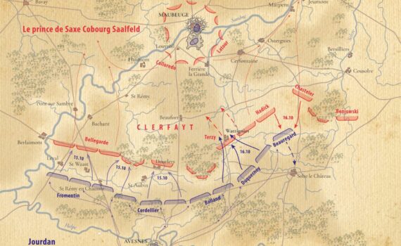
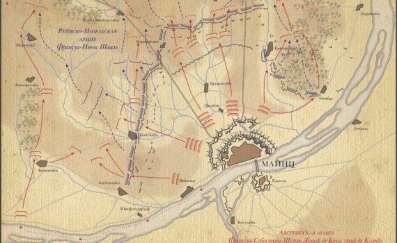
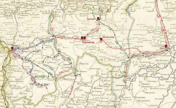
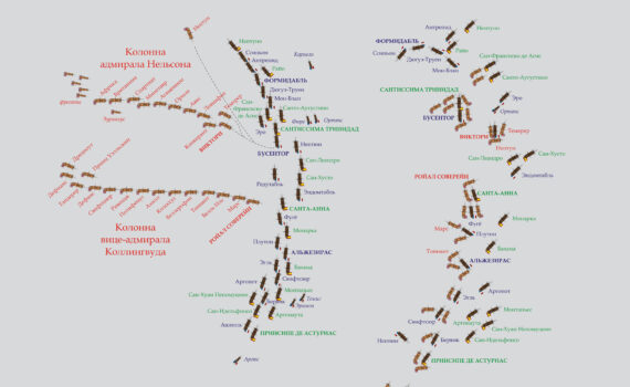
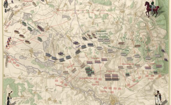
Detailed cartography and tactical battle reconstructions focused on the Napoleonic Wars for authors, researchers, and military publishers. The works illustrate grand corps maneuvers, cavalry charges, operational theater overviews, and coalition border redraws across Europe and beyond. Each layout transforms period dispatches and historical accounts into clean, publication-grade vector graphics, providing accurate spatial context for dense campaign narratives in books and journals.